• Drive: ~190 km from Shimla | Duration: 10–12 hrs via Rohru & Chanshal Pass (12,000 ft).
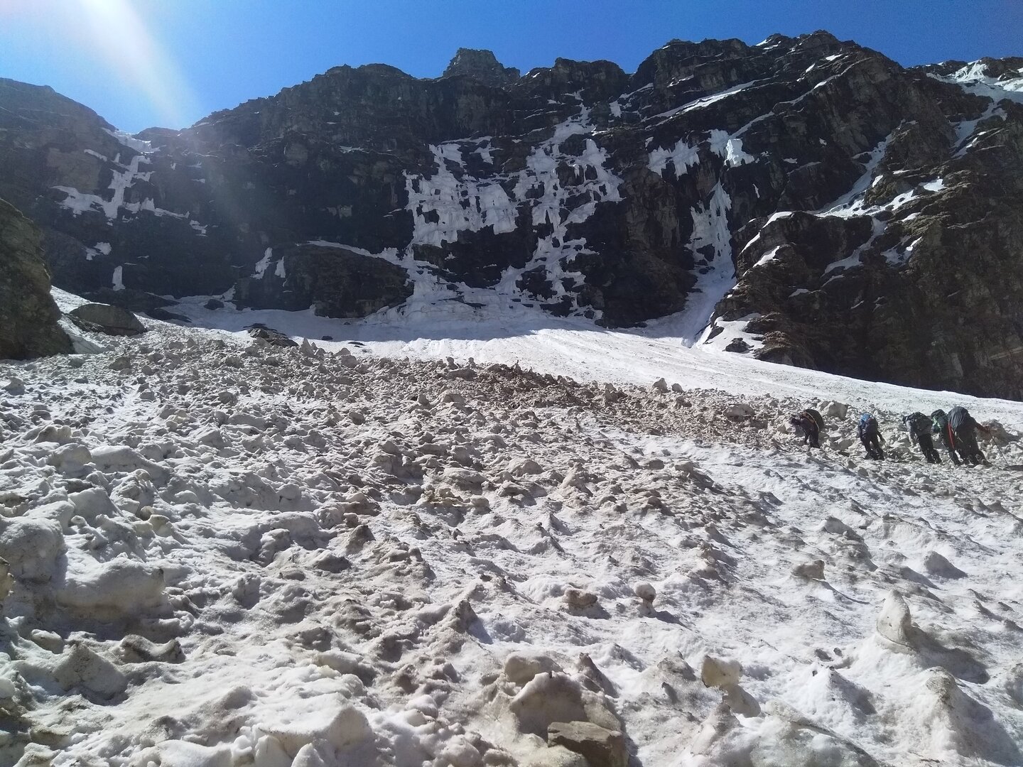
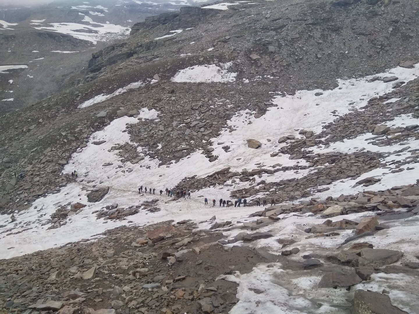
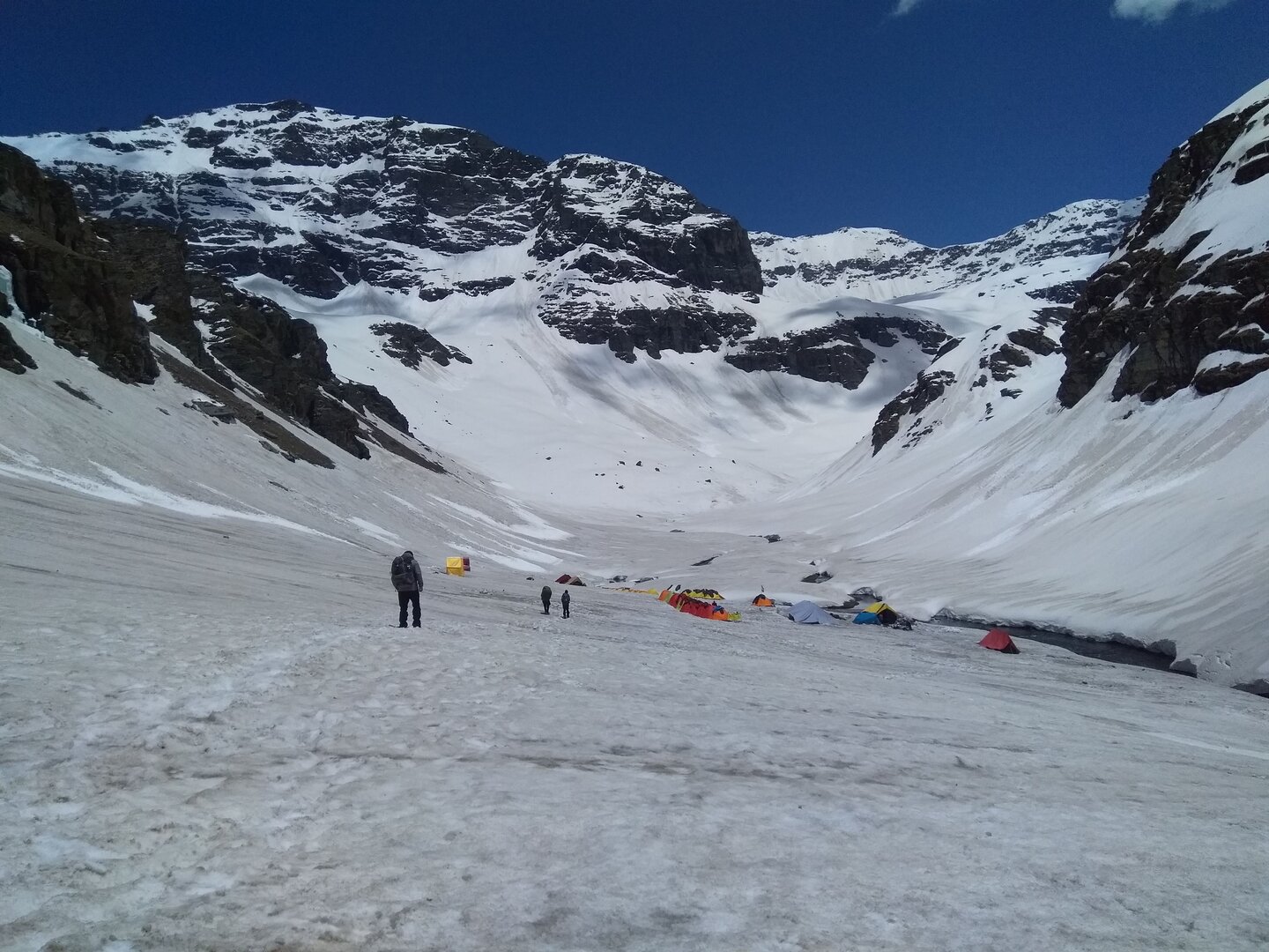
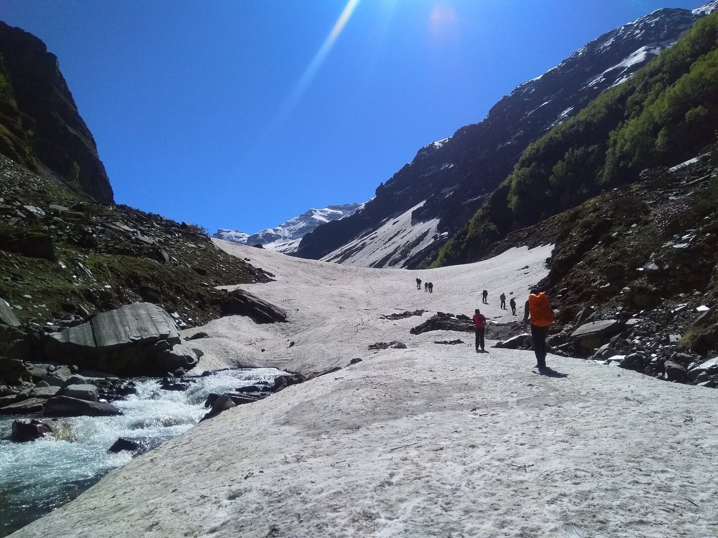
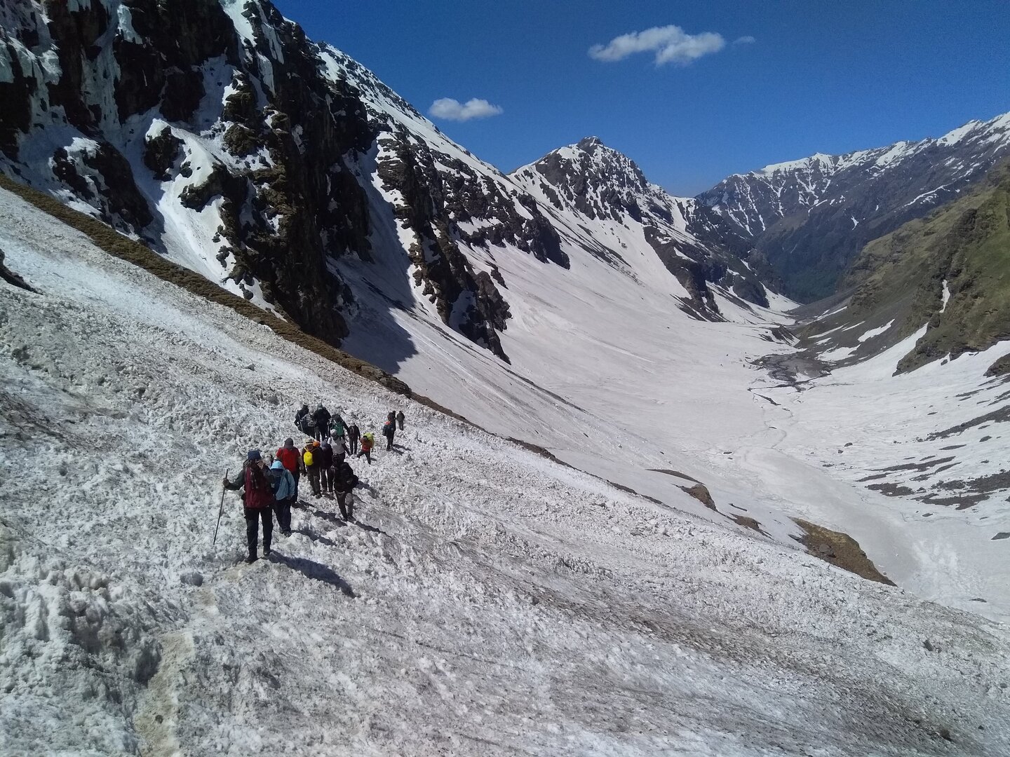
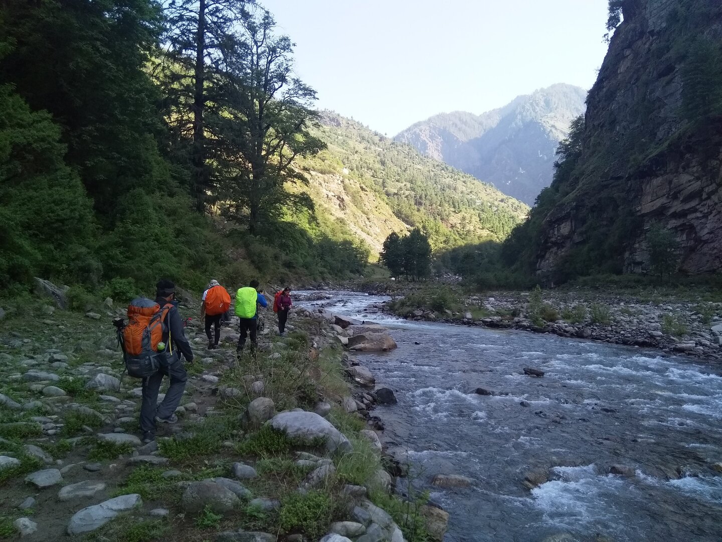
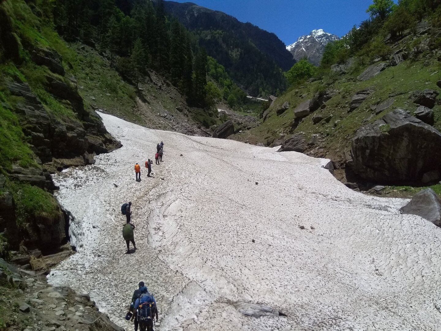
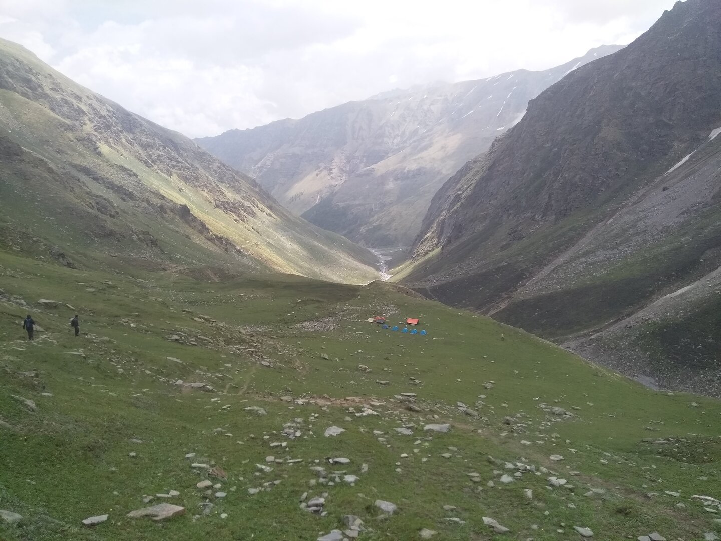
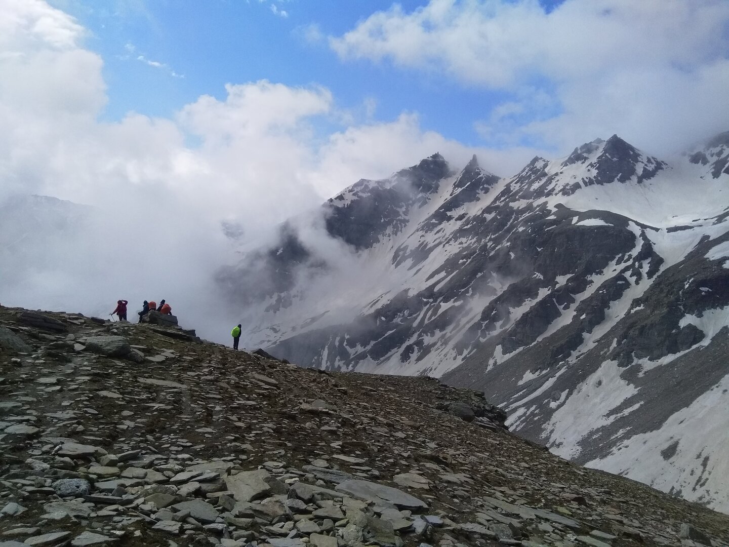
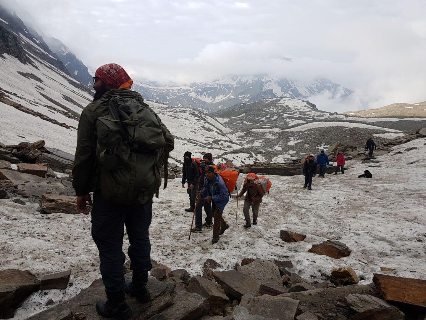
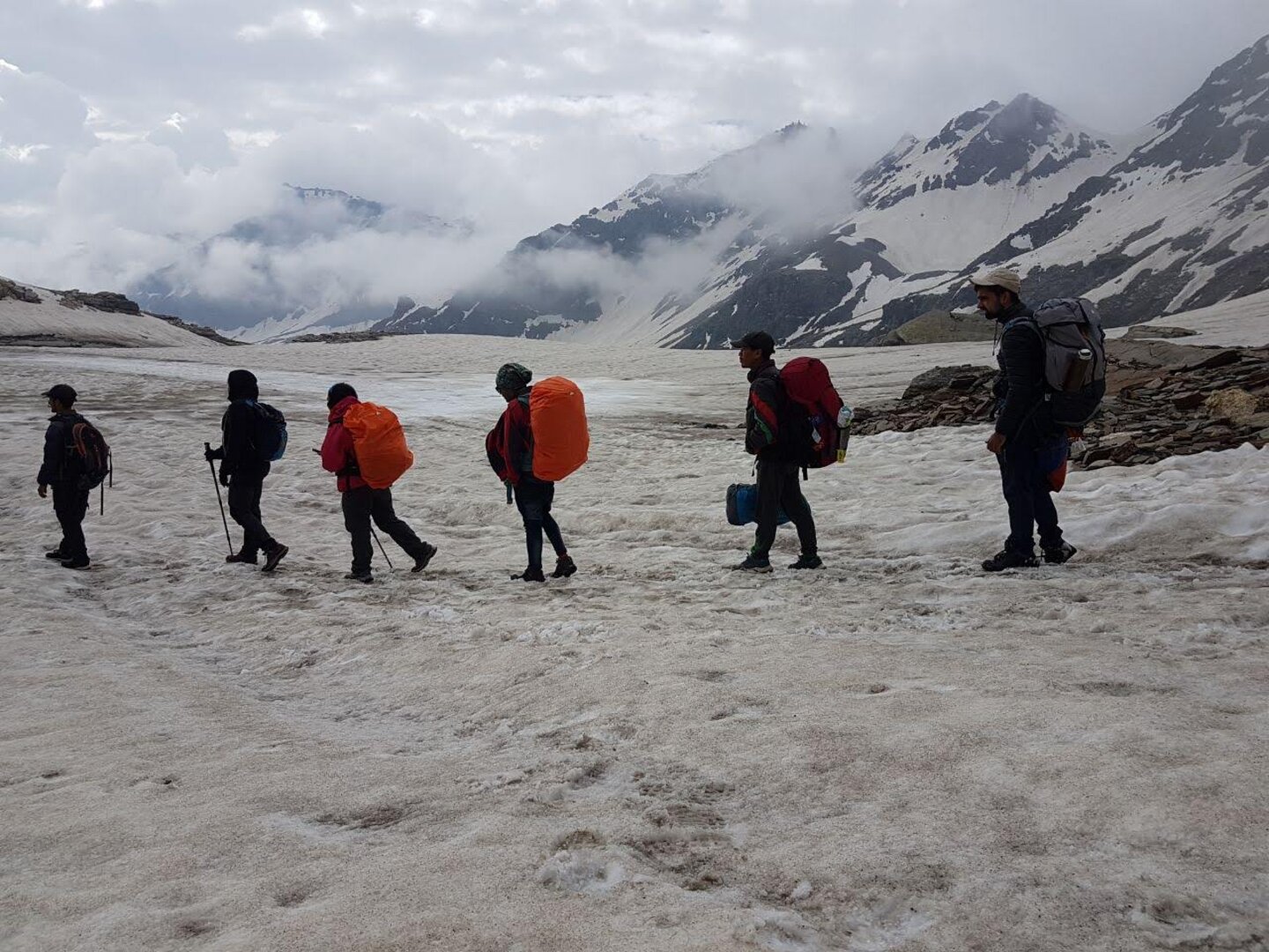
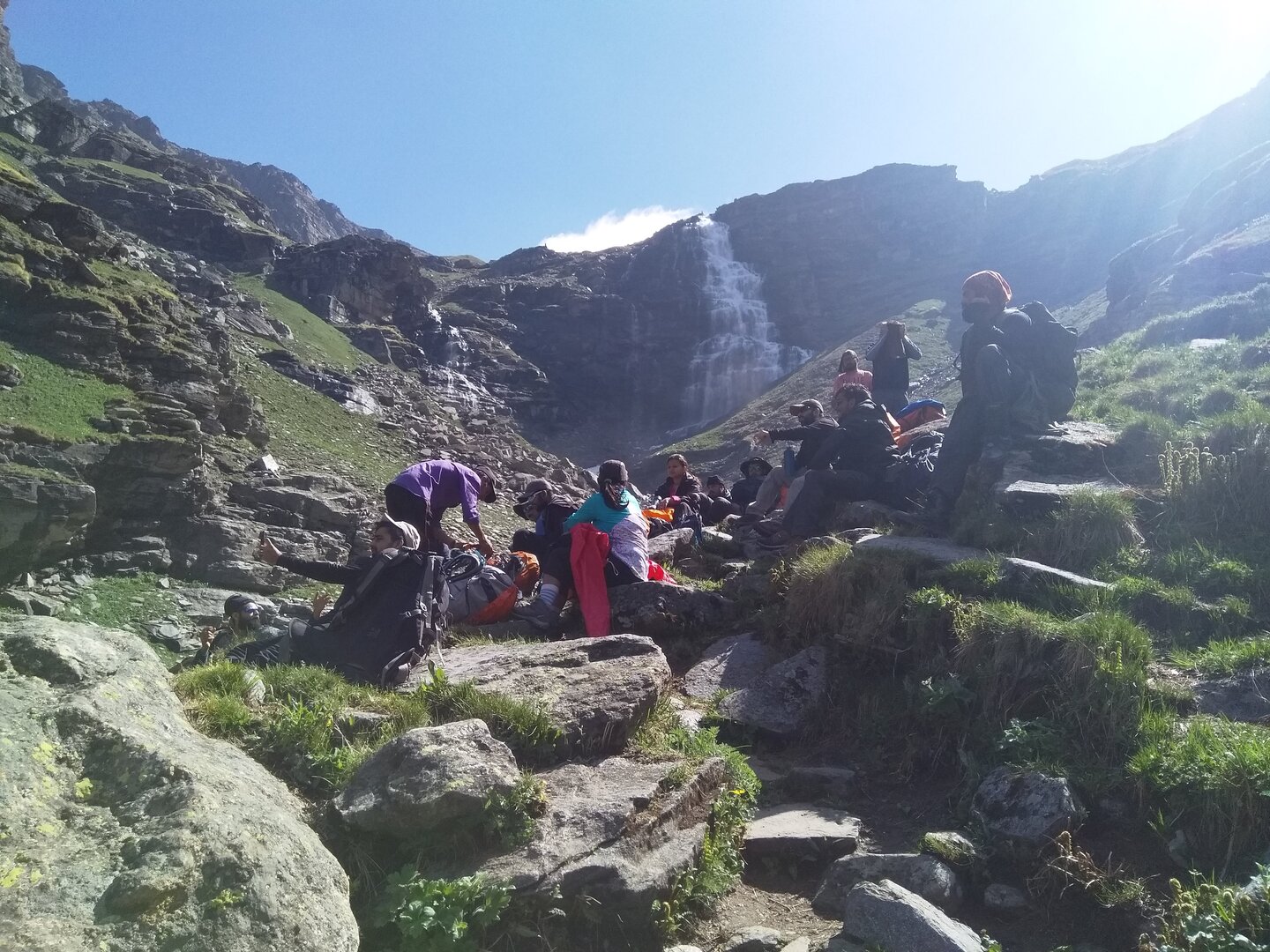
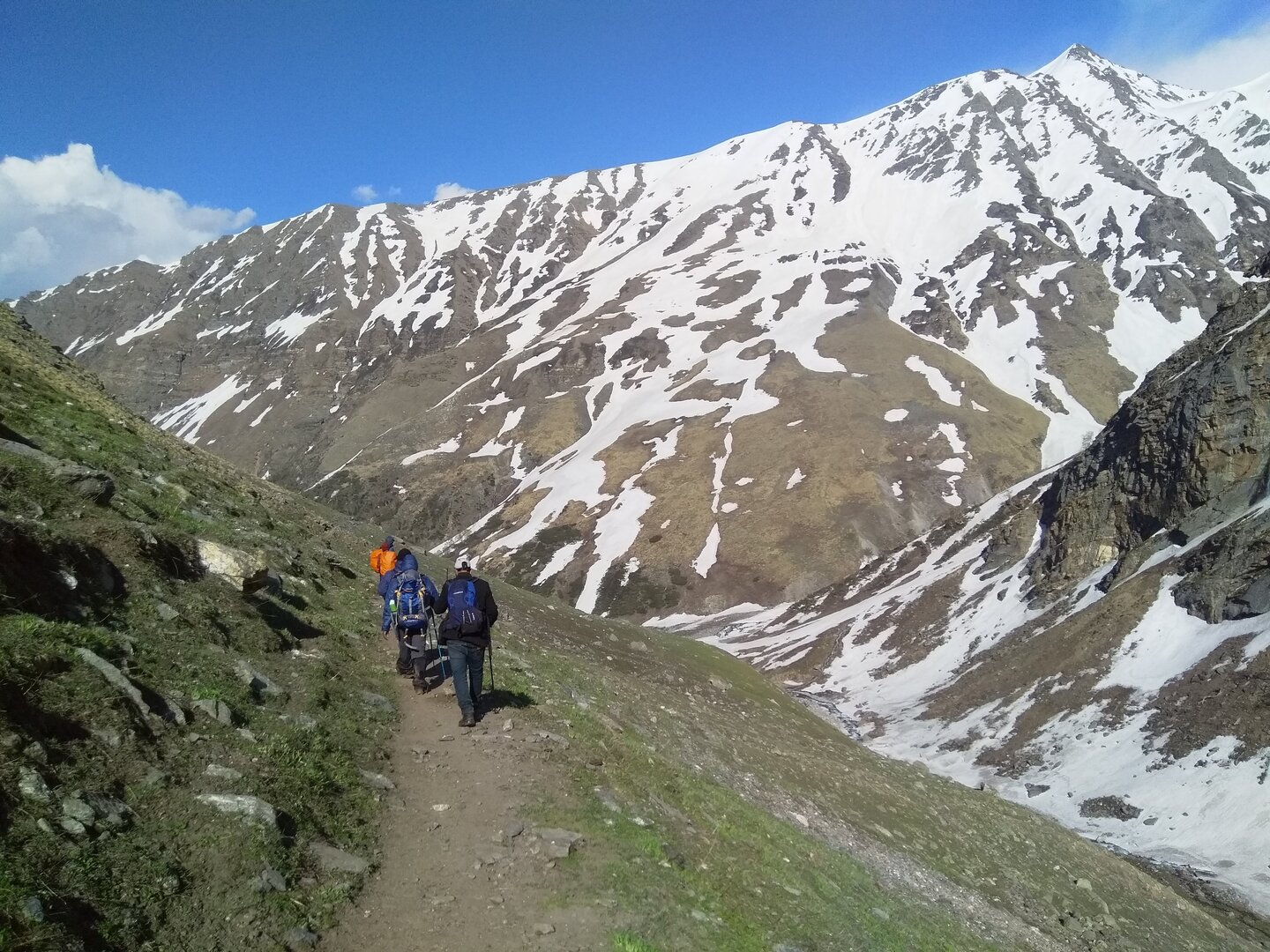
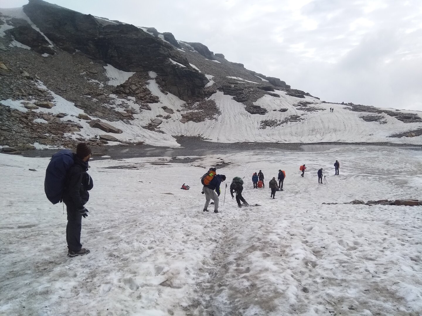
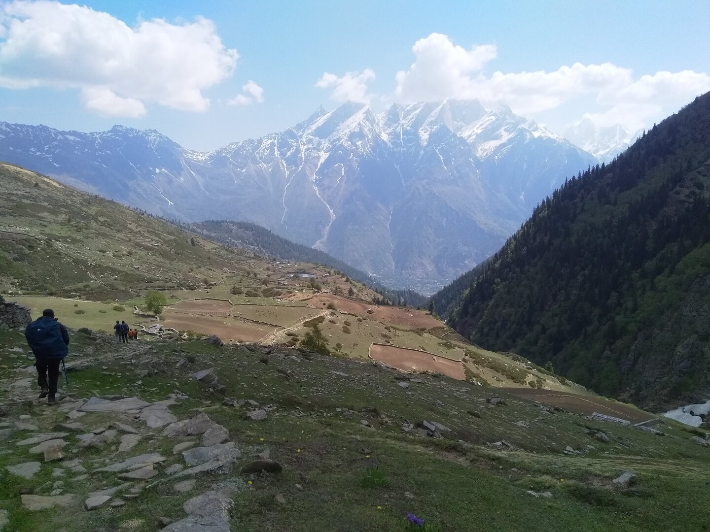
• The approach is the first act of the Rupin story — a long, scenic drive that climbs out of Shimla’s foothills and moves through apple orchards, tight pine corridors and quiet Himachali hamlets. We skirt the dramatic Chanshal Pass, where open grasslands and distant ridgelines replace the forested slopes below. From Rohru the road forks — one way to Janglik, the other to Jiskoon — and the short detour through the Chainsheel valley feels like a condensed trek in itself, all wild meadows and sudden views. Jiskoon (also written Jiskun) sits high above the confluence of the Rupin and Nargani, a practical, friendly village with small shops to top up food and fuel. Use this evening to check gear, buy last-minute supplies, and sleep early — the trail begins tomorrow.
• The approach is the first act of the Rupin story — a long, scenic drive that climbs out of Shimla’s foothills and moves through apple orchards, tight pine corridors and quiet Himachali hamlets. We skirt the dramatic Chanshal Pass, where open grasslands and distant ridgelines replace the forested slopes below. From Rohru the road forks — one way to Janglik, the other to Jiskoon — and the short detour through the Chainsheel valley feels like a condensed trek in itself, all wild meadows and sudden views. Jiskoon (also written Jiskun) sits high above the confluence of the Rupin and Nargani, a practical, friendly village with small shops to top up food and fuel. Use this evening to check gear, buy last-minute supplies, and sleep early — the trail begins tomorrow.