• Drive distance: ~150 km | Duration: 6–7 hours (from Manali).
• Day 1 is the reporting day at Khanjer, the roadhead and base camp for the Miyar Valley Trek. Trekkers can either reach Manali and opt for our shared transport, or make independent arrangements to reach Khanjer directly.
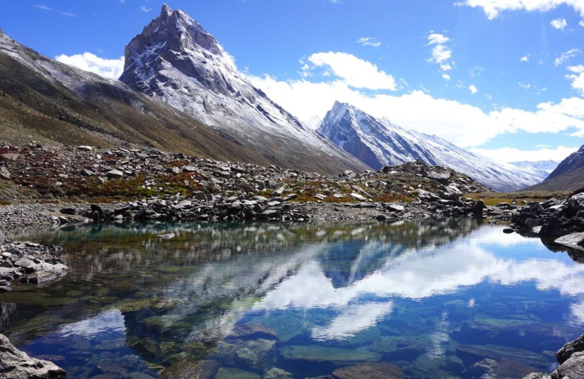
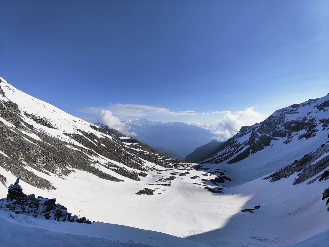
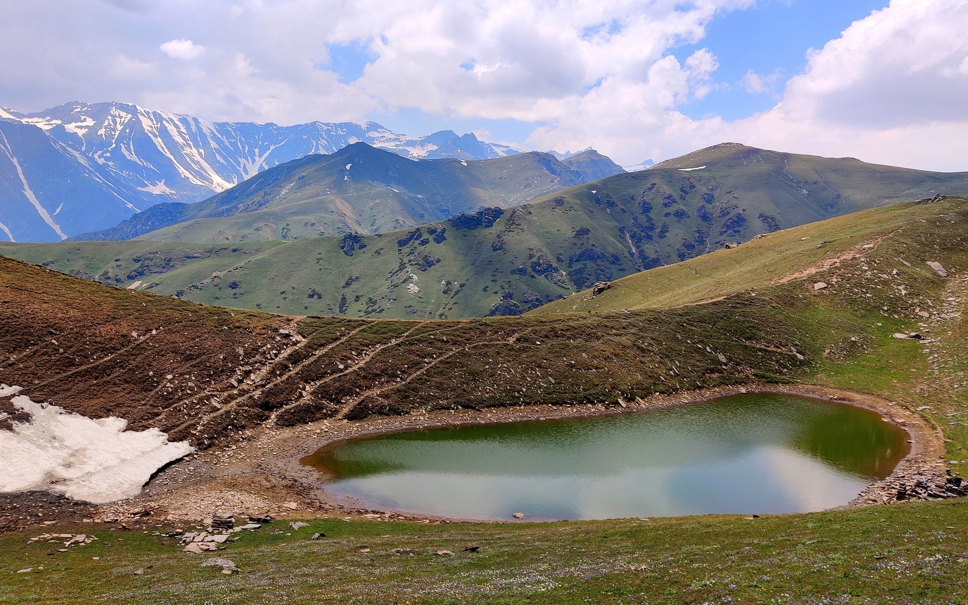
The journey from Manali to Khanjer is a spectacular transition from the green valleys of Kullu to the stark, high-altitude terrain of Lahaul. Leaving Manali early, the route passes through the Atal Tunnel — a dramatic gateway that instantly changes the landscape. On the other side, the Lahaul region opens up with wide valleys, sparse vegetation, and towering brown-grey mountains shaped by wind and ice.
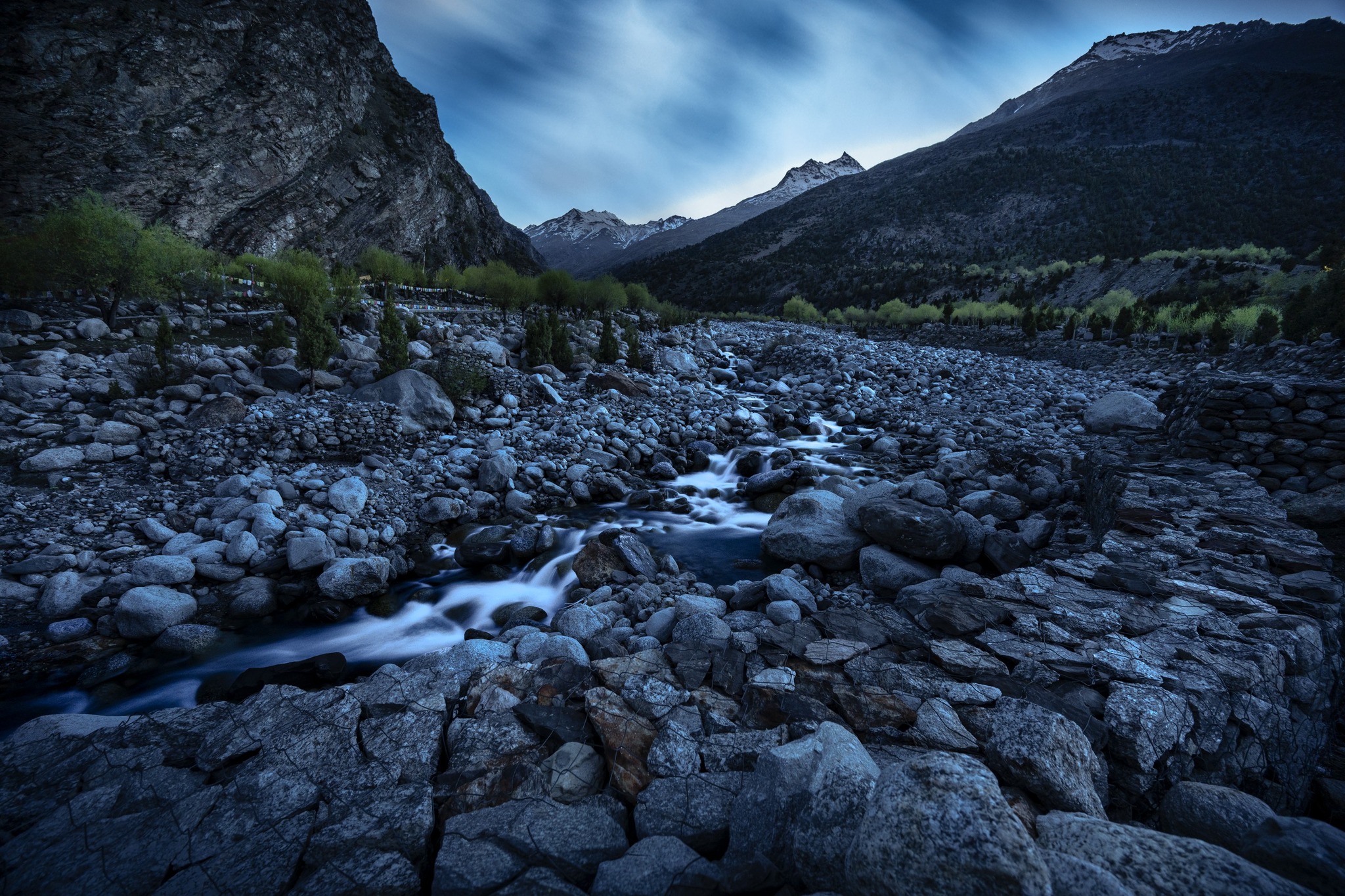
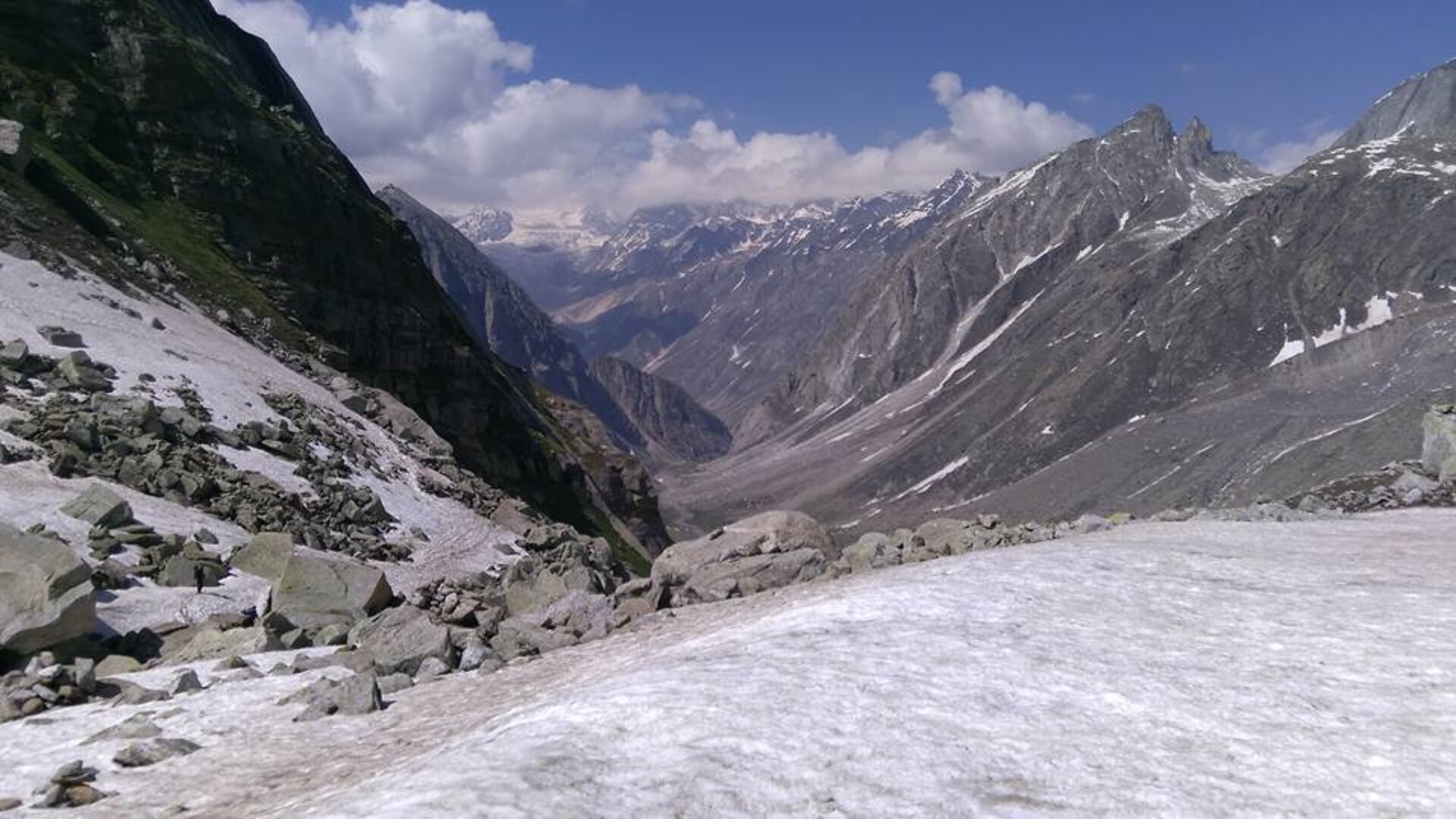
The road follows the Chandra River for a long stretch, cutting through deep gorges and open plains before reaching Udaipur, a culturally rich settlement known for the ancient Mrikula Devi Temple. From Udaipur, the route turns into the quieter Miyar Valley road, climbing steadily along the Miyar Nallah toward Khanjer. The scenery becomes increasingly remote as villages thin out and the sense of isolation grows.
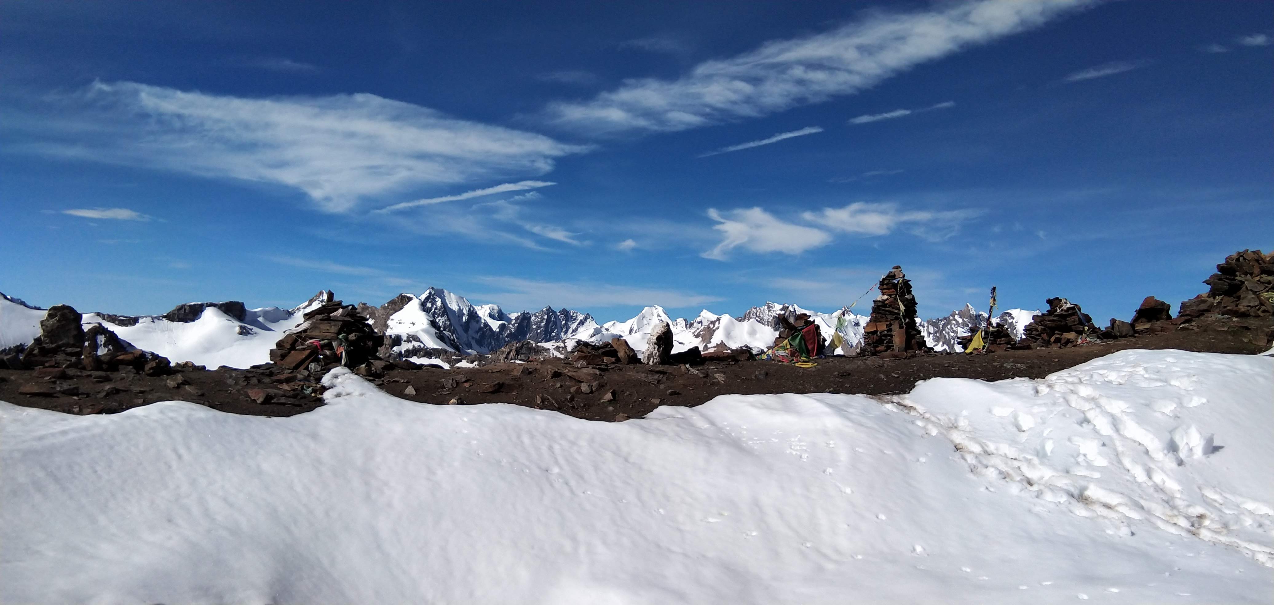
Khanjer is the last motorable village of the valley — a small, stone-built settlement set against steep mountain walls. This is where the trek truly begins. After arrival, trekkers check into the base camp, meet the trek leader, and go through a detailed briefing covering the route, safety protocols, and expectations for the days ahead. The rest of the evening is spent resting, acclimatizing, and preparing for the long journey into the heart of Miyar Valley.
• Day 1 is the reporting day at Khanjer, the roadhead and base camp for the Miyar Valley Trek. Trekkers can either reach Manali and opt for our shared transport, or make independent arrangements to reach Khanjer directly.
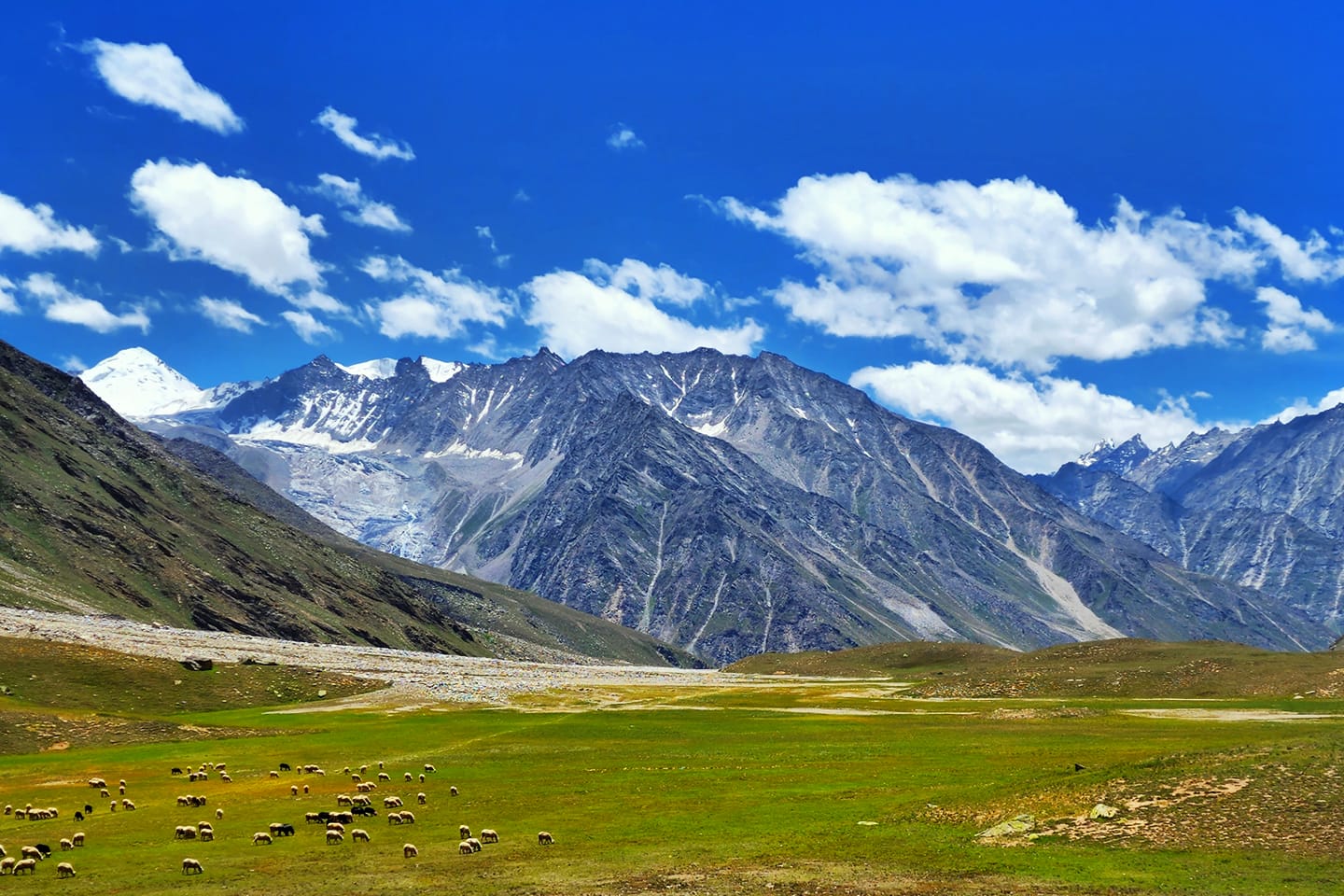
The journey from Manali to Khanjer is a spectacular transition from the green valleys of Kullu to the stark, high-altitude terrain of Lahaul. Leaving Manali early, the route passes through the Atal Tunnel — a dramatic gateway that instantly changes the landscape. On the other side, the Lahaul region opens up with wide valleys, sparse vegetation, and towering brown-grey mountains shaped by wind and ice.
The road follows the Chandra River for a long stretch, cutting through deep gorges and open plains before reaching Udaipur, a culturally rich settlement known for the ancient Mrikula Devi Temple. From Udaipur, the route turns into the quieter Miyar Valley road, climbing steadily along the Miyar Nallah toward Khanjer. The scenery becomes increasingly remote as villages thin out and the sense of isolation grows.
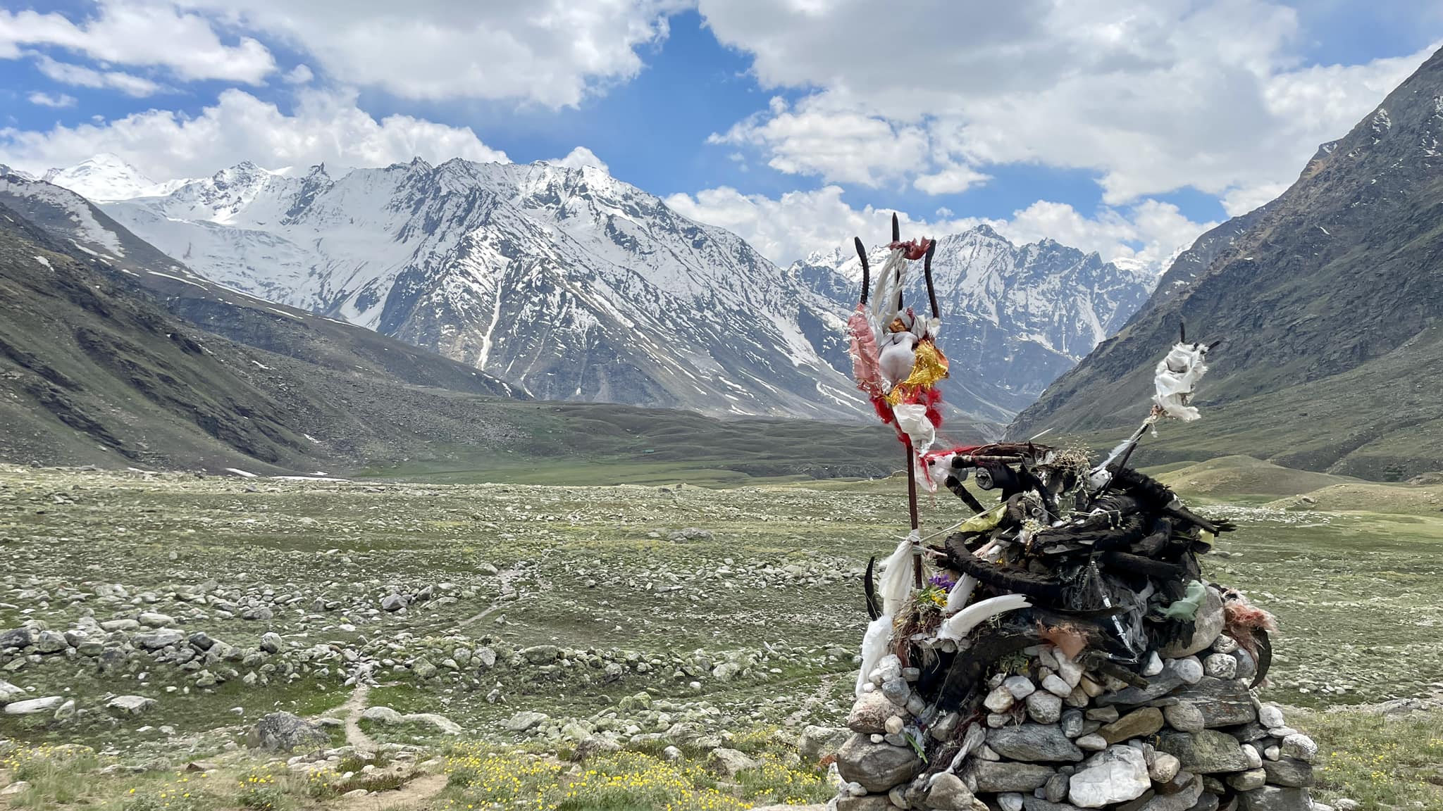
Khanjer is the last motorable village of the valley — a small, stone-built settlement set against steep mountain walls. This is where the trek truly begins. After arrival, trekkers check into the base camp, meet the trek leader, and go through a detailed briefing covering the route, safety protocols, and expectations for the days ahead. The rest of the evening is spent resting, acclimatizing, and preparing for the long journey into the heart of Miyar Valley.